Taking Services to the Air with Eisan Remotely Piloted Aircraft Systems
Eisan Remotely Piloted Aircraft Systems
Technology helps us become more efficient and allows for faster progress in all industries, raising the standards of reliability, precision, and safety. When you need accurate visual data for surveying, inspections, and mapping, our industry-leading technology points upward with the latest in multi-payload remote drone systems.
Our Drone Technology
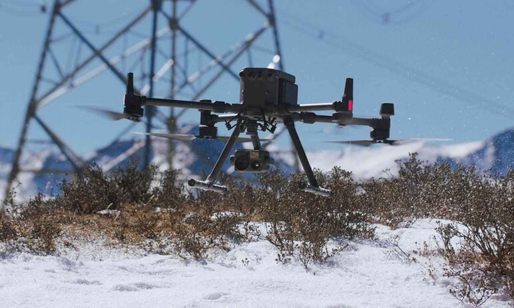
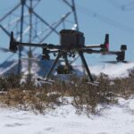
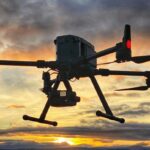
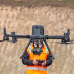
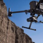
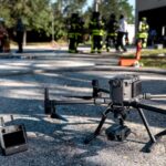
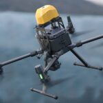
The commercial drone industry has come a long way in a short time. At Eisan Remotely Piloted Aircraft Systems, we work with the new standard in the industry. The Matrice300 RTK is a highly advanced remote aerial technology that features advanced AI capabilities. When you want a trusted partner in the air, this is the drone to trust and that’s why we use it for our customers.
Our Base Station
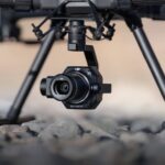
Using a D-RTK2 GNSS mobile station, enables ERPAS to obtain optimized accuracy and ultimate reliability.
D-RTK 2 Mobile Station is DJI’s upgraded high-precision GNSS receiver that supports all major global satellite navigation systems. This provides real-time differential corrections that generate centimeter-level positioning data for improved relative accuracy.
Applications We Provide
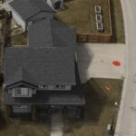
Visual Data Acquisition for Inspections
Drone Photography
Drone Videography
Photogrammetry
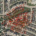
Drone Mapping
2D Models
Dense Point Cloud 3D Models
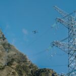
Infrastructure
Search and Rescue
Security and Surveillance
Agriculture
Construction Management
About ERAS
ERPAS is an all-in-one drone data collection and processing company.
Benefits of using a drone for visual inspection of infrastructure
Drones and photogrammetry software are powering the shift from repairs and maintenance, departments to smart infrastructure asset management.
The responsibility of managing assets is shifting from reactive maintenance and repair organizations, to dynamic, strategic planning agencies.
The advent of drones and photogrammetry software in the geospatial industry are driving that change. The combination of these technologies is commonly referred to as drone mapping. It enables organizations to tackle operational challenges–allowing them to perform frequent inspections and create up-to-date, digital asset databases.
Businesses across industries realize that drones have multiple commercial applications, some of which go beyond basic surveillance, photography, or videos, and are already using them to transform daily work. Insurance companies are using drones to inspect damaged assets, for instance, and farmers are sending them to monitor crops and collect soil data.
Advanced RPAS Operations
ERPAS pilot carries an advanced RPAS license from Transport Canada granting us regulatory approval for advanced operations.
Advanced Operations Over People
Our drones (RPAS’s) are approved by Transport Canada for operations near and over people. This allows us to operate in urban and built-up environments both legally and safely.
5 Million in General Liability
We carry 5 million in general liability insurance which is over 50x the minimum amount previously required by Transport Canada.
Planning and Coordination
Leave the paperwork to us. We can coordinate with Nav Canada for flights in control zones near major airports. ERPAS can also coordinate drone operations with the National & Provincial Parks, Transport Canada, and Municipalities.
Data Privacy, Processing and Security Concerns
The data we collect can be process within our company, keeping your data stored on portable hard drives & offline. This helps ERPAS to meet and exceed todays most stringent corporate data handling policies for the processing, handing and storage of sensitive information.
Are you interested in how drone technology can be integrated to your job/industry?
ERPAS provides consulting services in integration of drones and development of drone programs.